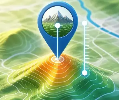
Map Elevation Finder
Find the elevation of any location on Earth. Click the map or search by address to get accurate altitude data from SRTM90m.
Open ToolBrowser-based Geographic Information System (GIS) tools — process, analyze, and visualize spatial data entirely within a web browser.
Find the elevation of any location on Earth. Click the map or search by address to get accurate altitude data from SRTM90m.
Open ToolFind the postal code or ZIP code of any location worldwide. Click the map or use your current GPS position.
Open ToolFind the nearest electric car charging stations on the map. View up to 10 EV chargers within 25 miles of any location.
Open ToolAdd or edit GPS coordinates in photo EXIF metadata. Batch geotag JPEG images and export with updated location data.
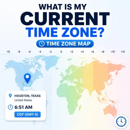
Open ToolFind the time zone for any location. Click the world map to get the timezone name, GMT offset, and current local time.
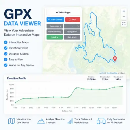
Open ToolUpload and view GPX files on an interactive map with an elevation profile chart. Free online GPX track reader.
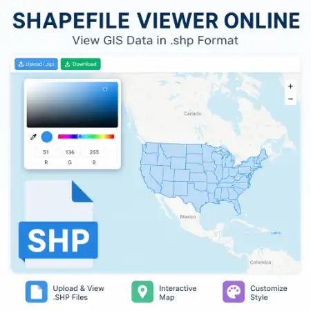
Open ToolUpload and view ESRI Shapefile (.shp / .zip) on an interactive map with an attribute table. Free online SHP reader.
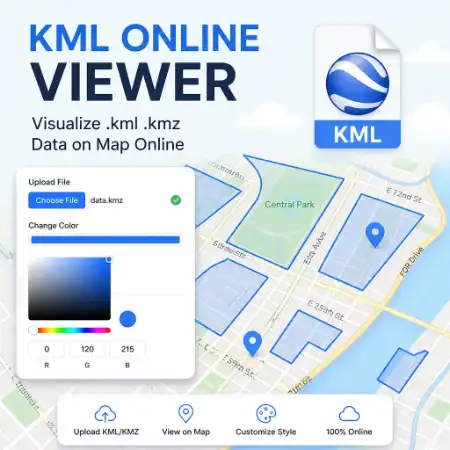
Open ToolUpload and render KML or KMZ files on an interactive map. View Google Earth files online without any software.
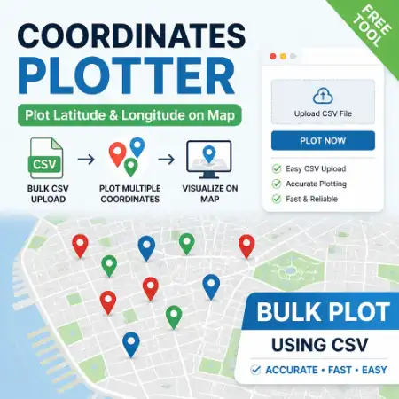
Open ToolUpload a CSV file with latitude and longitude columns and plot all coordinates on an interactive map instantly.
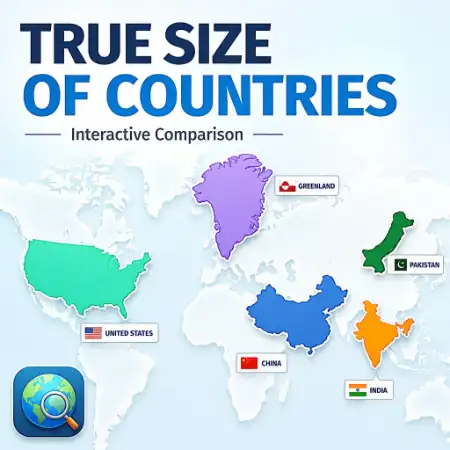
Open ToolCompare the true geographic size of any country by dragging it across the world map. Reveals Mercator projection distortion.
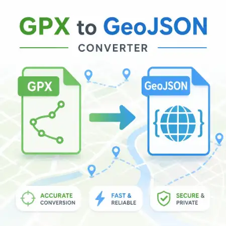
Open ToolConvert GPX files to GeoJSON format online for free. Preview your GPS track on the map then download the converted file.
Open ToolDraw a polygon on the map and instantly calculate its area in m², km², acres, or hectares. No sign-up required.
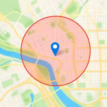
Open ToolDraw a circle of any radius on the map. Switch basemaps and export the map with the circle overlay as a PNG image.
Open ToolMeasure distance between multiple points on the map. Calculate route distances and display results in km or miles.
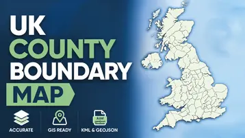
Open ToolView and download UK ceremonial county boundary data as GeoJSON or KML. Interactive map with all 48 counties.
Open ToolView and download UK Local Authority District boundary data as GeoJSON or KML. All ~360 LADs included.
Open ToolBuilt for GIS professionals, field workers, and everyday map users.
Open any tool in seconds — no install, no loading screens, no account.
GPX, SHP, KML, and photo processing is 100% client-side. Files never leave your device.
Desktop, tablet, and mobile. Any screen size. Any modern browser.
All 14 tools are free. No paywalls, no freemium limits, no expiry.